You can get our Tours when you are a member.
In February we saw a whale take a man and his kayak in his mouth and then release him. It is thought he was playing.
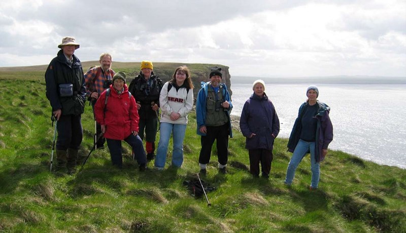
Now, as we move towards Orca Watch, we start to identify whales here.
The developer of the North Highland Way joined the Global Sustainable Tourism Council on 4 February 2025. You can see details of joining here. Businesses and community organisations listed on this web site are Friends of the North Highland Way. To enhance your membership of Friends of the North Highland Way, you can go here. Some years ago we worked with the Olympic Games idea of Bronze, Silver and Gold membership. The enhanced membership of Friends of the North Highland Way is bronze, Friends of the North Highland Way is silver, and corporate membership of the GSTC is gold.
Who will win the green prize................take the survey here, then click through and do the poll
It has been pointed out that it is not easy to book for the Festival. All bookings are done on line.
Firstly, though you will need to register
Citizen Scientists for the Marine Conservation Society project we are running, can sign up also to keep everything in one place.
Except for the Challenge of the Bridges
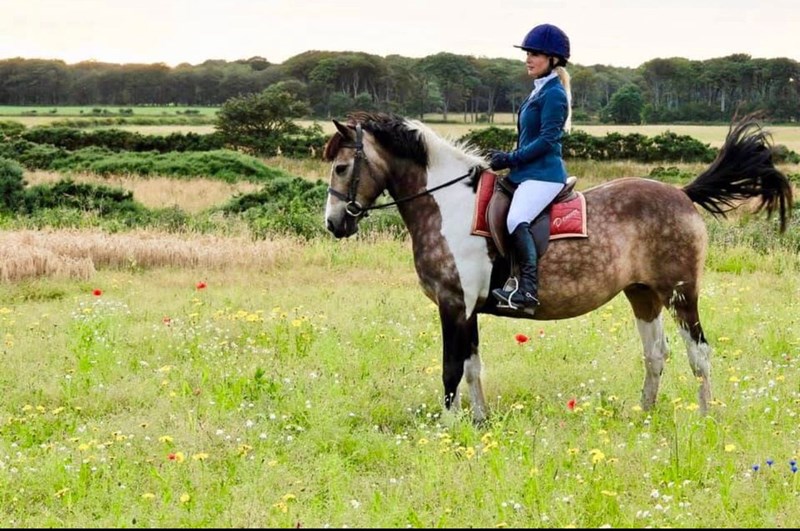
Book with our sponsor for horse riding.
You can win a Highland Cow hot water bottle when you take our quiz.
You can vote for our challenge and win a Highland Cow Notebook.
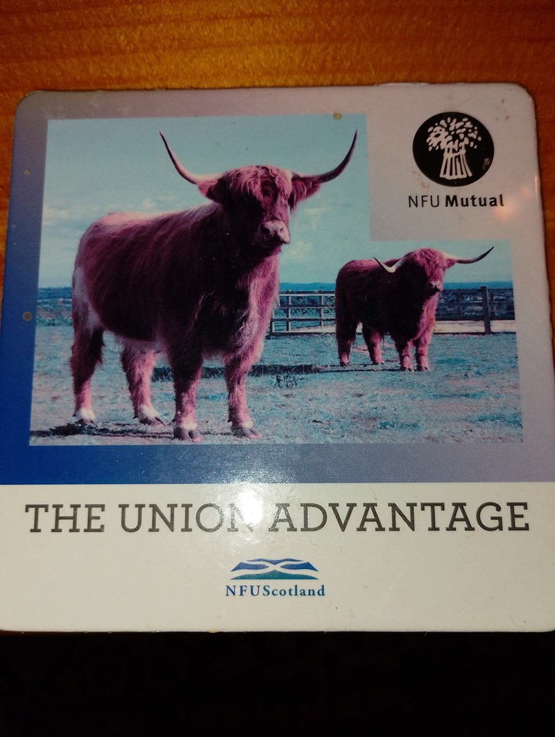
 Highland Cow
 Join us... only people who have contributed to the development of the North Highland Way are promoted here
Some years ago, a local historian helped write the book "WWII Sites in Caithness" They are available on Amazon. We have a Help for Heroes scarf, QARANC paraphernalia, cushions etc. and even found some information about WWII in Ireland in an old magazine. We will be publishing it all in a special book in preparation for VE Day.

In 2025, our mascot is the Highland Cow. We have a quiz "What is the difference between a Highland Cow and a Lincolnshire Red" in our magazine Environmental News. No one has come up with the answer yet. We have fluffy Highland Cow notebooks, Highland Cow hot water bottles and will shortly have Highland Cow t shirts. There are so many Highland Cow products. You can have a look in our shop to see if we have any in stock.

With VisitScotland firmly behind the North Highland Way project, and the Caithness and Sutherland Walking Festival already attracting attention in Orkney, we are on a roll.
We have our virtual information here
On the radio
and in Kildare


You can now get your Friends of the North Highland Way Card and get discounts... Pay by Paypal to
REGISTER FOR THE CAITHNESS AND SUTHERLAND WALKING FESTIVAL
GLOBAL CLIMATE CHANGE WEEK - we took part in 2024!
WORLD TRAILS NETWORK Join us in the task teams. Last month we were in Canada at the World Trails Conference, on line. Join the task teams.. send us an email. In order to help small businesses, then only businesses within the Caithness and Sutherland area may apply. There is a charge of £50 to cover the Company's administration costs., payable by Paypal to tinadirving@gmail.com
We already have representatives being signed up in Northern Ireland and Spain. So, the developer of the North Highland Way is also responsible for bringing business to those areas.
MINI DESTINATION MANAGEMENT ORGANISATION
Supported by Mini DMO We care about Climate Change and measure it.
SHOPPING
Get your military gear here.. in time for VE Day on 8 June 2024
 Then to Christmas.. why the poinsetta. Click on the poinsetta to get the answer.
Tours with VisitScotland
Creating the North Highland Way
https://www.southwestcoastpath.org.uk/walk-coast-path/south-west-coast-path-national-trail/ In joining the World Trails Network, we have achieved our ambition of joining up with the developers, the South West Path in England, as well as Friends of the North Highland Way in Spain.
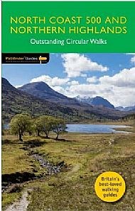
You get a free copy of the book when you join Friends of the North Highland Way.
![]()
Here we support Greenpeace

Get on the potential Scotlands Great Trail from Tongue to Borgie forest
Note: The only individuals and organisations on this page are those who have contributed to the development of the North Highland Way as a multi use route.
Public Services